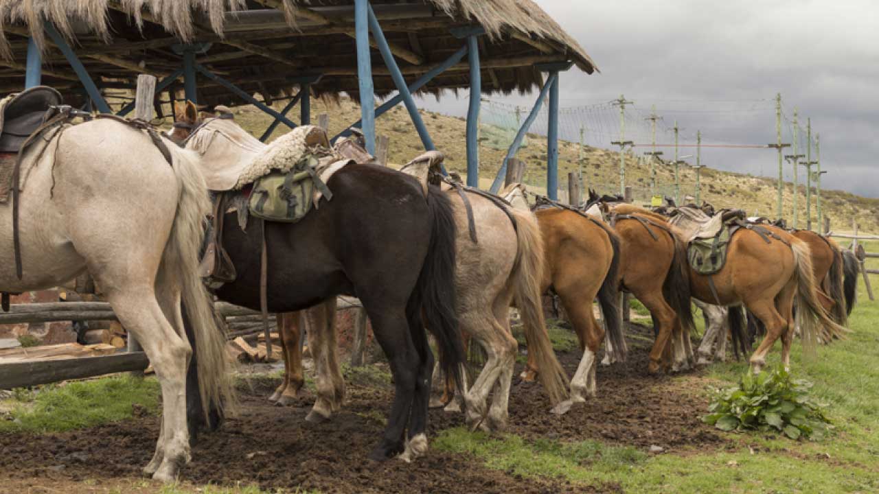
Description of the Route and Environment
This is a short, low-level option that crosses a small section of Cotopaxi National Park from Tambopaxi to the eastern end of the park where it borders the Pita River. Afterwards, you return by another parallel trail to Tambopaxi.
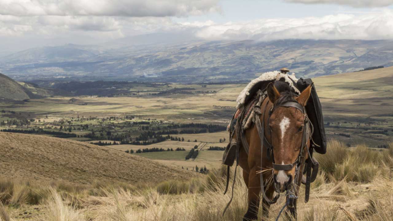
During the tour you can observe the Cotopaxi volcano, its ora, fauna, until you reach the Pita River. The best time to visit this place is during the dry season.
The average temperature is 11° C.
Technical Information
Distance: 8.2 Kms.
Minimum altitude: 3,566 meters above sea level.
Maximum altitude: 3,962 meters above sea level.
Aproximate travel time: 1.5 - 2.5 hours.
Difficulty: Low
Points of Interest on the Route
NATURAL
Volcanoes: Cotopaxi / Rumiñahui / Sincholagua / Pasochoa
CULTURAL
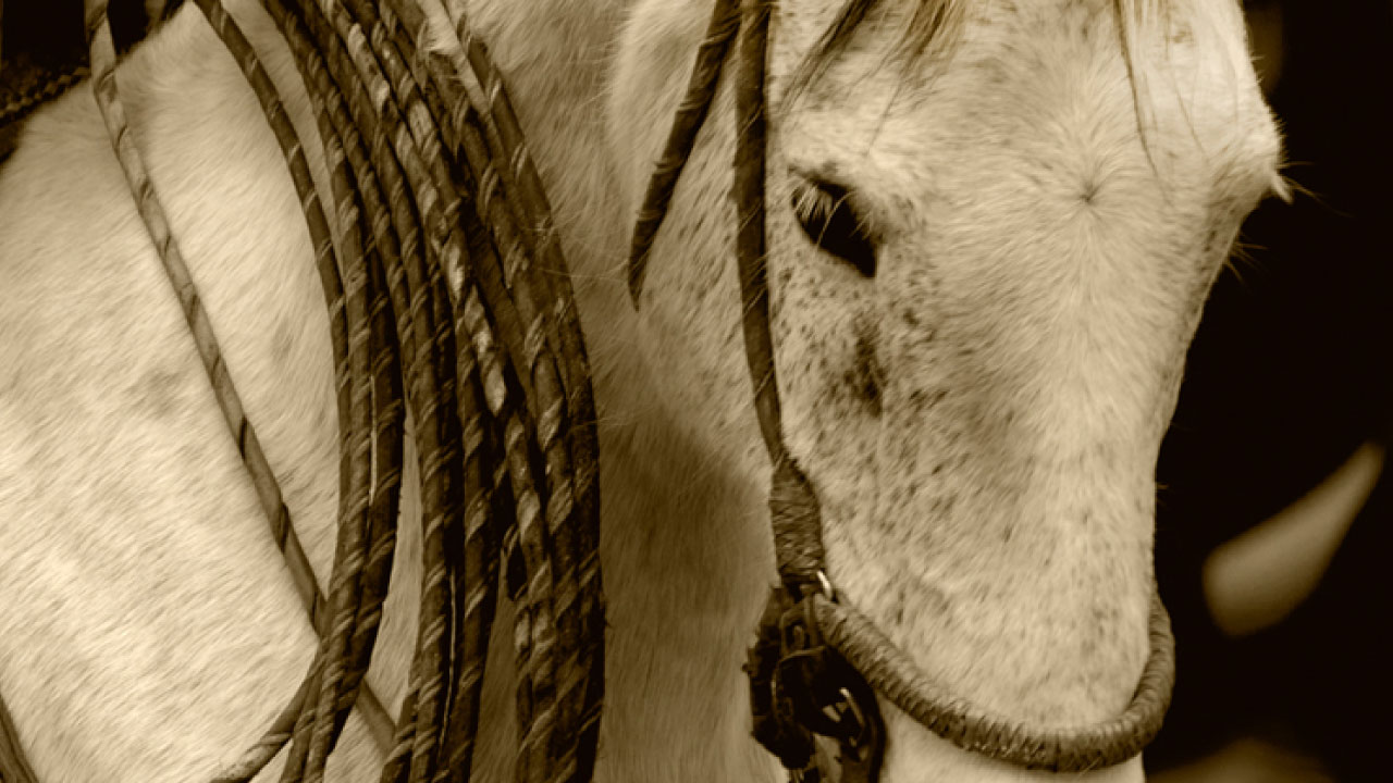
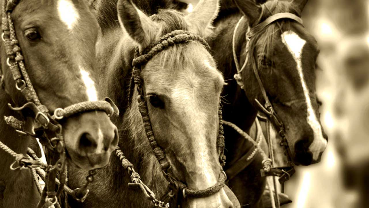
Chagra Culture

 José Mejía E-50 y Bolívar
(Frente al Parque Central de Machachi)
Phone: 381 9250 Ext. 162
José Mejía E-50 y Bolívar
(Frente al Parque Central de Machachi)
Phone: 381 9250 Ext. 162
